The National Geographic Institute (IGN) has warned that an earthquake of the magnitude of Morocco (6.8) could likely occur in Spain.
Itahiza Domínguez, a seismologist at IGN, explains on social networks that seismic hazard maps have “a problem”: they are based on knowledge from the past, but if this is limited, or the periods between earthquakes are long, it can “underestimate” the danger.
And this is believed to be the case with the Moroccan earthquake, since the pre-existing map gave a lower probability in the hypocentre area compared to other points in the country, and in North Africa in general.
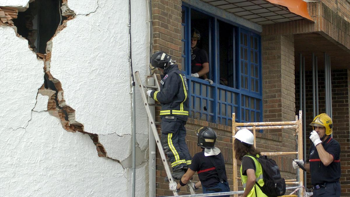
In the Iberian Peninsula, the most dangerous areas are said to be in the provinces of Granada and Murcia (Lorca), where major earthquakes were last recorded in 1884 and 2011, resulting in more than 1,000 deaths. Itahiza Domínguez said that “it is not ruled out” that a new “destructive” earthquake may occur in the south of the Iberian Peninsula.
In statements to EFE, the specialist explains that the seismic hazard maps are based on “earthquakes that have occurred in the past”, their location, magnitude and their intensity.
“If the danger was underestimated in Morocco, it is because the data available was not enough,” said Domínguez, who added that “perhaps” the time of energy accumulation in the subsoil was extended by “hundreds of years. ” Herein lies “one of the problems of seismology, because unlike volcanoes, earthquakes give no warning.”
If the information that experts have in the field is dated, because it is 500 years since the last earthquake, “there is no way to know what the real danger is, in contrast to more well-known areas, such as Japan, where there is greater awareness and prevention”.
In seismology there are no predictive models, according to Itahiza Domínguez: “If it has happened in the past, it can happen again, the faults do not disappear.”
Surprisingly, the expert made no specific mention of the 1829 Torrevieja earthquake, which must also be remembered, when the Alicante coast sank about 10 m (33 ft) across the entire fault line. It had an estimated magnitude of 6.6 Mw and a Mercalli intensity of IX (Violent).