Orihuela and the wider Vega Baja are facing potentially dangerous weather conditions, with temperatures forecast to climb as high as 46°C and severe thunderstorms threatening destructive wind gusts and hail.
Spain’s State Meteorological Agency, Aemet, has placed southern Alicante province under a red heat warning—the highest alert level—from midday until 8pm on Thursday. The warning covers the Vega Baja and Baix Vinalopó, together with parts of l’Alacantí, Medio Vinalopó and Marina Baixa.
Orihuela is expected to be among the worst-affected municipalities, with temperatures potentially reaching 45°C or 46°C in inland and low-lying areas. The remainder of Alicante province is subject to an orange heat warning.
A yellow thunderstorm alert will also be in force across the province between 4pm and 9pm. Although significant rainfall is not necessarily expected, developing storm cells could produce hail and extremely powerful wind gusts.
Meteorologists have warned of the possibility of “thermal bursts”, which occur when rain falling from a storm evaporates in intensely hot, dry air. This process forces a mass of hot air rapidly towards the ground, creating sudden and potentially damaging winds. In extreme circumstances, gusts could approach 160km/h.
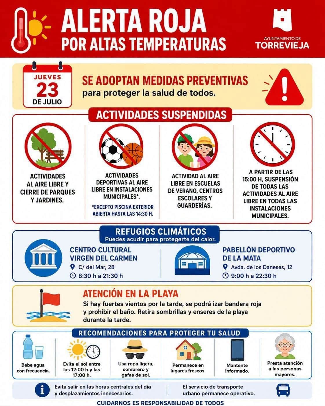
Orihuela City Council has responded by closing municipal facilities and prohibiting swimming from its beaches. Residents and visitors are being urged to obey red flags and official instructions, while businesses, contractors and property owners should secure awnings, outdoor furniture, scaffolding, fencing and other loose objects.
From 2pm, all sporting activities will be suspended and municipal sports centres, public parks and outdoor swimming pools will close. Every organised outdoor event scheduled between 2pm and 8pm has also been cancelled.

Red flags will be raised on all beaches in the municipality from 5pm, when swimming will be strictly prohibited. The municipal ORA regulated-parking service will remain suspended throughout the day.
The extreme weather has also forced a change to Orihuela’s Reconquista and Moors and Christians celebrations. The Gran Retreta Festera parade has been delayed by one hour and will now begin at 10pm.
Across the region, residents and visitors are advised to avoid direct exposure to the sun and outdoor activity between midday and 7pm. People should remain in cool, well-ventilated places, drink water regularly and avoid alcohol.
Similar precautions are being introduced elsewhere in Alicante province, including the closure of parks, beaches and outdoor facilities and the suspension of some open-air activities.
Jorge Olcina, director of the Climatology Laboratory at the University of Alicante, said the arrival of a Saharan air mass would make Thursday particularly difficult. After affecting western and central Spain, the mass of extremely hot air has shifted towards the Mediterranean coast.
Orihuela-based weather service MeteOrihuela described the red warning as representing an “extraordinary danger to the population” and urged the public to take the forecast seriously.
Aemet expects mostly clear conditions initially, becoming cloudier during the afternoon. Saharan dust will remain suspended in the atmosphere, while thunderstorms could develop later in the day, bringing very strong gusts and a possibility of hail.
The greatest heat is forecast inland, where temperatures will widely reach between 40°C and 43°C. Some parts of the Vega Baja del Segura could record around 45°C, with Orihuela potentially exceeding that level.
People are advised to avoid strenuous outdoor activity, remain indoors during the hottest hours, drink water frequently and check on elderly or vulnerable relatives and neighbours. Children and animals should never be left inside parked vehicles, even for a short period.
Temperatures are expected to decline along the southern coast on Friday, although inland districts will remain exceptionally hot. A more noticeable reduction could arrive between Sunday and Tuesday with the movement of cooler polar air through the upper atmosphere. Overnight temperatures, however, are likely to remain uncomfortably high, and another spell of extreme heat is possible before the end of July.