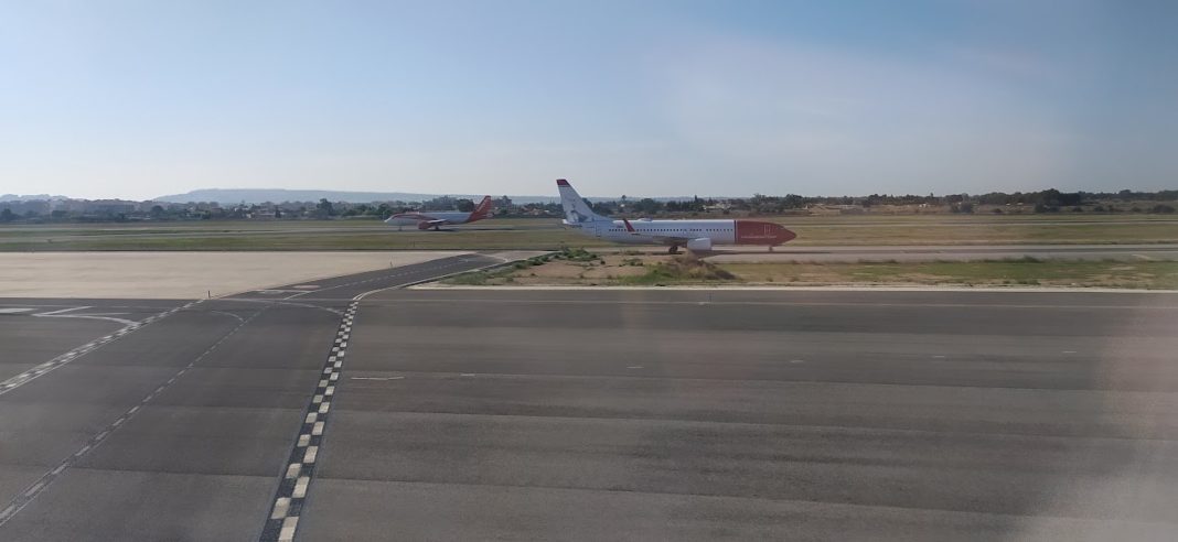
If you´ve had the pleasure of flying to or from Alicante-Elche Miguel Hernandez Airport recently, you may have noticed repair work being carried out on the taxiways and aprons, work which is set to be concluded shortly, but what you wouldn´t notice is the improvements taking place high in the sky above, to increase efficiency, which has been switched on this week.
ENAIRE, the national air navigation manager, in coordination with airport operator Aena, implemented the new instrument approach procedures based on satellite navigation at the El Altet airport.
ENAIRE thus increases the efficiency of operations, as well as the accessibility of the Airport, providing it with additional instrument approach manoeuvres. Since these manoeuvres do not depend on radio navigation aids installed on the ground, they represent a very efficient solution both for their increasing use depending on the companies’ equipment as well as an improvement or alternative to conventional approaches.
However, the system is not necessarily fully operational at all times, as in order to carry out this operation based on the use of satellite navigation, the aircraft must be properly equipped and its crew trained in its use. The new operation uses the European EGNOS satellite navigation system.
With respect to the VOR/DME non-precision instrument approach procedures currently implemented for runway 28, the new satellite-based manoeuvres improve performance, allowing vertical guidance of aircraft in the final phase of the approach and bringing the threshold closer to the runway is the point where the pilot must decide to continue or abort the landing, which improves the continuity of the Airport’s service in lower cloud ceiling conditions.
The recent launch of satellite navigation in Alicante adds to the deployments already carried out as part of the ENAIRE Performance Navigation Procedures Implementation Plan (PBN) at the Reus, Josep Tarradellas Barcelona-El Prat, Valencia, Palma, Lleida-Alguaire and Adolfo Suárez Madrid-Barajas, among others. In addition, at the Málaga-Costa del Sol Airport there is a satellite navigation system with ground augmentation, called GBAS, and instrument precision operations based on said system.
With this action, ENAIRE provides users of the Alicante-Elche Miguel Hernández Airport with approaches based on satellite navigation that improve the safety and regularity of operations at the airport. All this, without the need to install additional land infrastructure, with the advantages that this entails.


