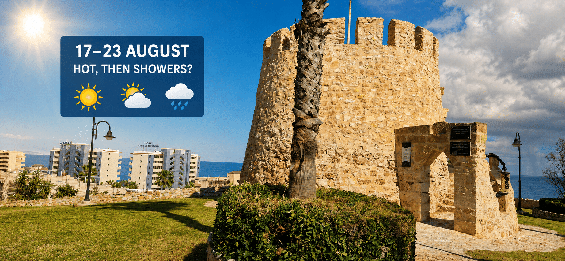
Southern Costa Blanca is preparing for another exceptionally hot and humid week from Monday, August 17, with temperatures expected to peak on Wednesday before the weather becomes slightly more unsettled towards the weekend.
Coastal areas including Torrevieja, Orihuela Costa, Guardamar del Segura and Pilar de la Horadada will experience lengthy periods of sunshine, although increasing cloud could eventually produce some light rain.
Monday will be very warm and humid, with sunshine mixed with occasional high cloud. Temperatures are forecast to reach around 32°C in Torrevieja and other coastal districts, while Orihuela city could record a maximum of 36°C.
High humidity could make conditions feel significantly hotter. AEMET indicates that the apparent temperature in Torrevieja could reach 40°C during Monday, despite an actual maximum of approximately 32°C.
Overnight temperatures will remain high, generally staying between 24°C and 26°C. These tropical nights will provide little relief for households without air conditioning.
Tuesday should be predominantly sunny, with maximum temperatures of around 32°C along the coast and 37°C in inland parts of the Vega Baja. Winds will generally remain light, although afternoon sea breezes could provide limited relief near the shoreline.
The most extreme conditions are currently expected on Wednesday. Torrevieja could reach 35°C, while AEMET forecasts a maximum of approximately 41°C in Orihuela city.
Wednesday night will also remain very warm, with coastal temperatures unlikely to fall below 24°C. Humidity could reach exceptionally high levels overnight.
Cloud will begin to increase from Thursday, bringing the first limited possibility of rain. However, any rainfall is expected to be light and highly localised rather than prolonged or widespread.
Friday will remain hot, with temperatures of around 34°C in Torrevieja and 37°C in Orihuela. Variable cloud is forecast, accompanied by a greater chance of an isolated shower.
The highest possibility of rain currently appears to be on Saturday, August 22. AEMET forecasts cloudy intervals with light rain in Torrevieja and indicates that the probability of precipitation could reach 55% during part of the day.
This does not mean continuous rain is expected. Summer showers can be extremely localised, meaning one area may receive a brief downpour while nearby communities remain completely dry. Forecast confidence also declines towards the end of the seven-day period.
Temperatures should ease slightly on Saturday, falling to approximately 31°C in Torrevieja and 33°C inland. Sunday is expected to remain very warm with a mixture of sunshine and cloud, although further isolated showers cannot be ruled out.
Beach conditions should generally be favourable during the first half of the week, with light winds and weak to moderate waves. Sea temperatures around La Mata and Guardamar are expected to remain unusually warm at approximately 30°C.
The ultraviolet index will remain very high at level eight early in the week. Residents and visitors should use high-factor sunscreen, remain hydrated and avoid strenuous activity during the hottest afternoon hours.
Particular care will be required on Wednesday, especially away from the immediate coastline, where temperatures could exceed 40°C.
The likelihood and location of the weekend showers may change as the week progresses. Updated forecasts are available from AEMET for Torrevieja and Orihuela.