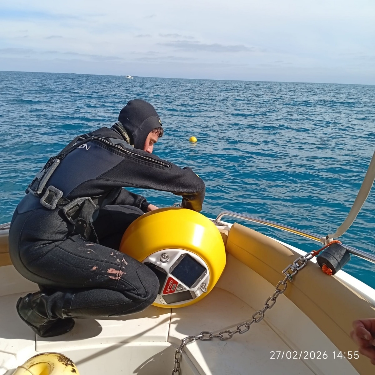
Guardamar del Segura has rolled out a cutting-edge monitoring system along its coastline in a bid to combat ongoing beach erosion and sand loss.
The Town Hall has invested €82,728 in European funding — channelled through the Tourism Sustainability Destination Plan (PSTD) — to install a network of oceanographic buoys, a current meter and coastal video surveillance cameras. The system is designed to gather real-time data on wave action, currents and sediment movement directly in the surf zone, where most sand displacement occurs.
The project was implemented by specialist firm Oceannet, with technical guidance from the Institute of Coastal Ecology.
Unlike traditional methods, which rely heavily on offshore data or computer modelling, the new setup captures “in situ” measurements at the shoreline itself. That means more precise tracking of how sand shifts along the coast, how storms reshape beach profiles and which weather patterns cause the most damage.
Town officials say the continuous flow of high-resolution data will form the backbone of future decision-making. By building a long-term database, the council aims to develop predictive models that allow it to anticipate erosion hotspots and respond more efficiently with regeneration or protective measures.
Guardamar’s beaches are one of its main environmental and economic assets, central to both biodiversity and tourism. But like much of the Valencian coast, they face increasing pressure from storms, rising sea levels and altered maritime dynamics.
The council says the new technology will support integrated coastal management, improve coordination with regional and national coastal authorities and ensure public funds are used more effectively.
In short, Guardamar is turning to science and real-time monitoring to stay one step ahead of the sea — and protect one of its most valuable natural resources.