A total of 42 municipalities have requested the Institut Cartogràfic Valencian (ICV) to accurately delimit their municipal boundaries that were defined by the National Geographic Institute at the end of the 19th century and the beginning of the 20th but which, with the passage of time and the different publications and, from the decade of the 90s, with digitisation, distortions and errors occurred that have caused some boundaries to become unclear, which causes legal uncertainty and some dysfunctions in the municipal management, especially in roads, ditches and other boundary elements.
For this reason, from the year 2016 the project of recovery and geometric improvement of the municipal boundary lines of the Valencian Community was launched so that, with the use of the most modern measurement technologies, register the exact limits of each municipality in the Central Register of Cartography (RCC), of a state nature.
The ICV always acts at the request of the same municipalities that, normally, contact the ICV when they detect registration errors in the RCC or in the Cadastre, there are doubts about some limits or they are interested in updating the cartography of the municipality.
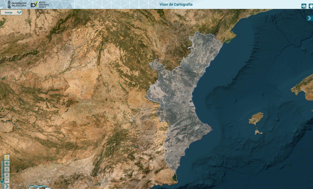
In the Valencian Community there are 2,261 municipal boundary lines totalling 9,198 kilometres, all registered in the Central Register of Cartography of the IGN according to their registration sheet. Of these, 7,085 kilometres are legally guaranteed lines of which, between the years 2017-2024, the ICV has worked on 1,054 kilometres.