Following the collapse of the La Mata farmhouse tower in the 1802 earthquake, the only part of the building that remained was the La Mata tower.
However, over the last few years, a small team of historians has been researching the site using maps of the Orihuela and La Mata salt flats dating back to 1692, borrowed from the Archives of the Crown of Aragon, in which the farmhouse and tower are both shown, together with a plan of the La Mata salt mine dated 1713 from the General Archive of Simancas, a town in northern Spain, in which the plan and layout of the farmhouse and tower also feature.
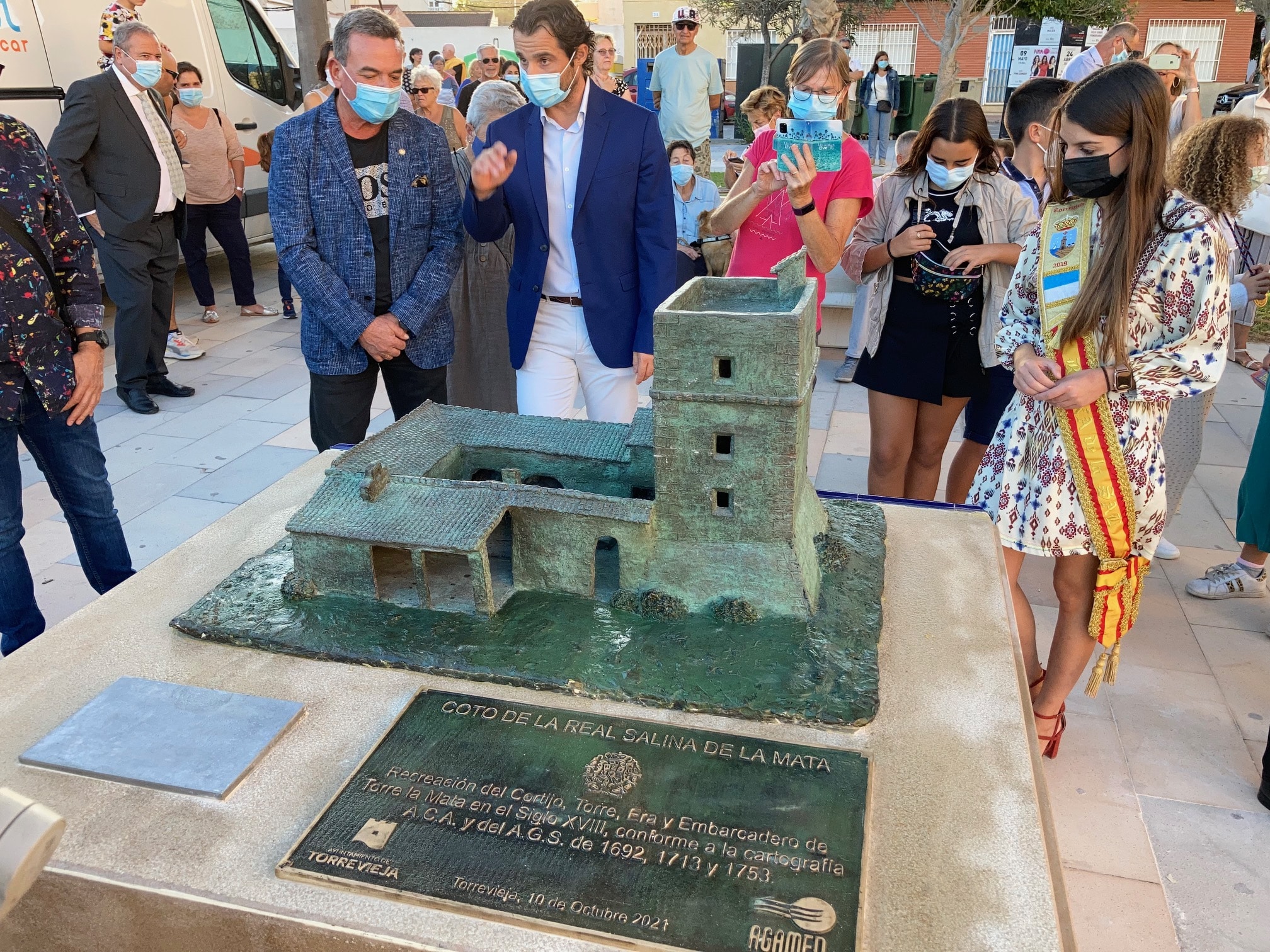
The farmhouse served as a residence and a warehouse for the administrator of the Salinas, together with workers and soldiers who carried out and controlled the shipment of salt during the period.
The mayor of Torrevieja, Eduardo Dolón, and the Councilor for Culture, Antonio Quesada, unveiled the model last Sunday, in the Plaza de Encarnación Puchol de La Mata.